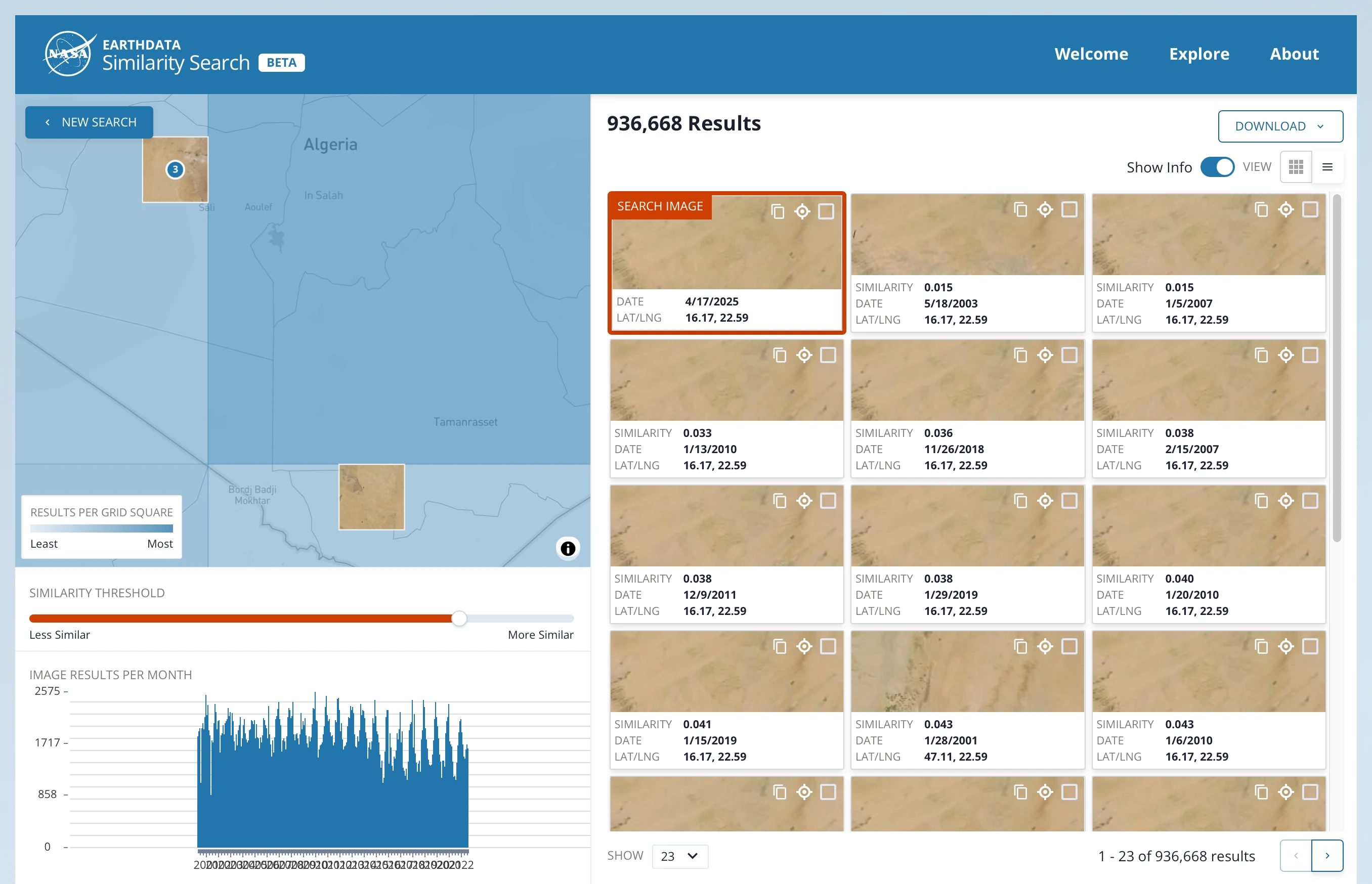
Using self-supervised learning, Similalaity Search allows researchers to select a sample image and to find similar images from am archive of satellite data. Similarity Search’s goal is to support scholars in climate-change research to find relevant data about wildfires, oli spills or hurricanes without manually combing through vast troves of archives often spanning several decades.
Work delivered
- Major refactoring of the application, separating application pages and shared components, increasing re-usability and code efficiency.
- New features, including:
- Download results as CSV, the download being generate on the fly in the front-end
- Improved results display, including image preview on the map and table view
- Geocoding and reverse geo-coding